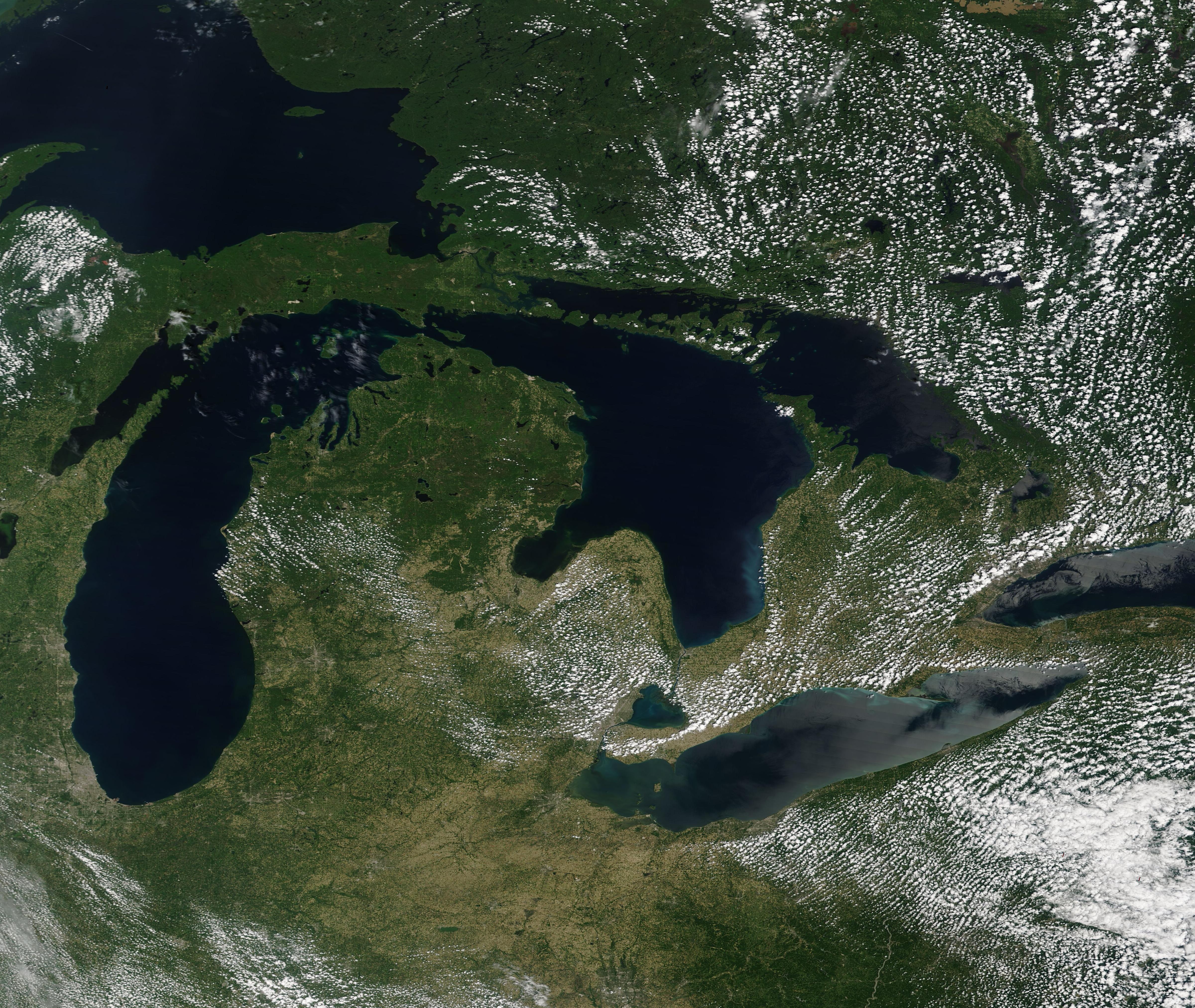
The complex lake and land breezes across the Great Lakes area result in high levels of ozone air pollution and make levels of the pollutant difficult to monitor. Now air quality experts are using custom models created by NASA with high-resolution satellite data, helping them monitor ozone pollution and inform their decisions on how to best meet federal air quality standards.
Creating models that correctly show the unique weather along Lake Michigan’s shoreline is no easy task, according to Zac Adelman, the executive director of the Lake Michigan Air Directors Consortium (LADCO). Adelman says LADCO already conducts these assessments for its member states in the Great Lakes region, including Wisconsin, Indiana, Illinois, Ohio, Michigan, and Minnesota, where local areas can exceed the National Ambient Air Quality Standards for ozone. But with NASA Earth observations, LADCO can help its member states better understand how to account for the complex variations in wind patterns and pressure differences along the shores of Lake Michigan, where ozone concentrations are the highest in the region.
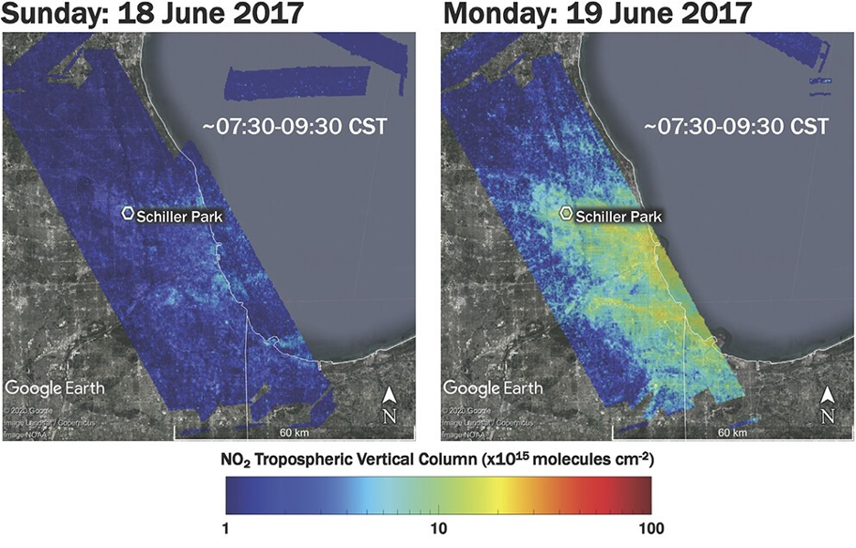
Federal air quality standards aim to protect the public from the health risks of unhealthy levels of ground-level ozone pollution. Those most at risk include children, as their lungs are still developing; elderly populations; individuals with existing lung conditions; and people who are active outdoors. When local air pollution levels exceed federal air quality standards, it can aggravate lung diseases such as asthma, emphysema, and chronic bronchitis, and increase the frequency of asthma attacks. That’s why LADCO and the Wisconsin Department of Natural Resources work with NASA researchers to improve the accuracy of the air quality assessments they use for local decision making.
In addition to wind and weather, NASA provides other Earth observations to LADCO that affect the complex environment around the Great Lakes – such as lake surface temperature and vegetation data. That information comes from sources such as the Moderate Resolution Imaging Spectroradiometer (MODIS) on board NASA’s Terra and Aqua satellites.
By working directly with the end users, the NASA-funded Health and Air Quality program area team has been able to actively refine the custom ozone models they created for the region as LADCO tries out these maps in real time.

“The most effective partnerships are those where you’re not just throwing something over the fence, but you work with the user, incorporate their feedback, and actually give them a fully operational tool that’s really customized for their needs,” said Brad Pierce, a member of the project team. “That’s what we were able to do here – LADCO has been as active of a participant as we have in terms of the research, a real partner.”
More about this project can be found in the NASA.gov story Great Air Quality for the Great Lakes Region.
This story is part of our Space for U.S. collection. To learn how NASA data are being used in your state, please visit nasa.gov/spaceforus.