


NOAA shared the first images of the Western Hemisphere from its Geostationary Operational Environmental Satellite-T (GOES-T), later designated GOES-18.
Image Credit: NOAA
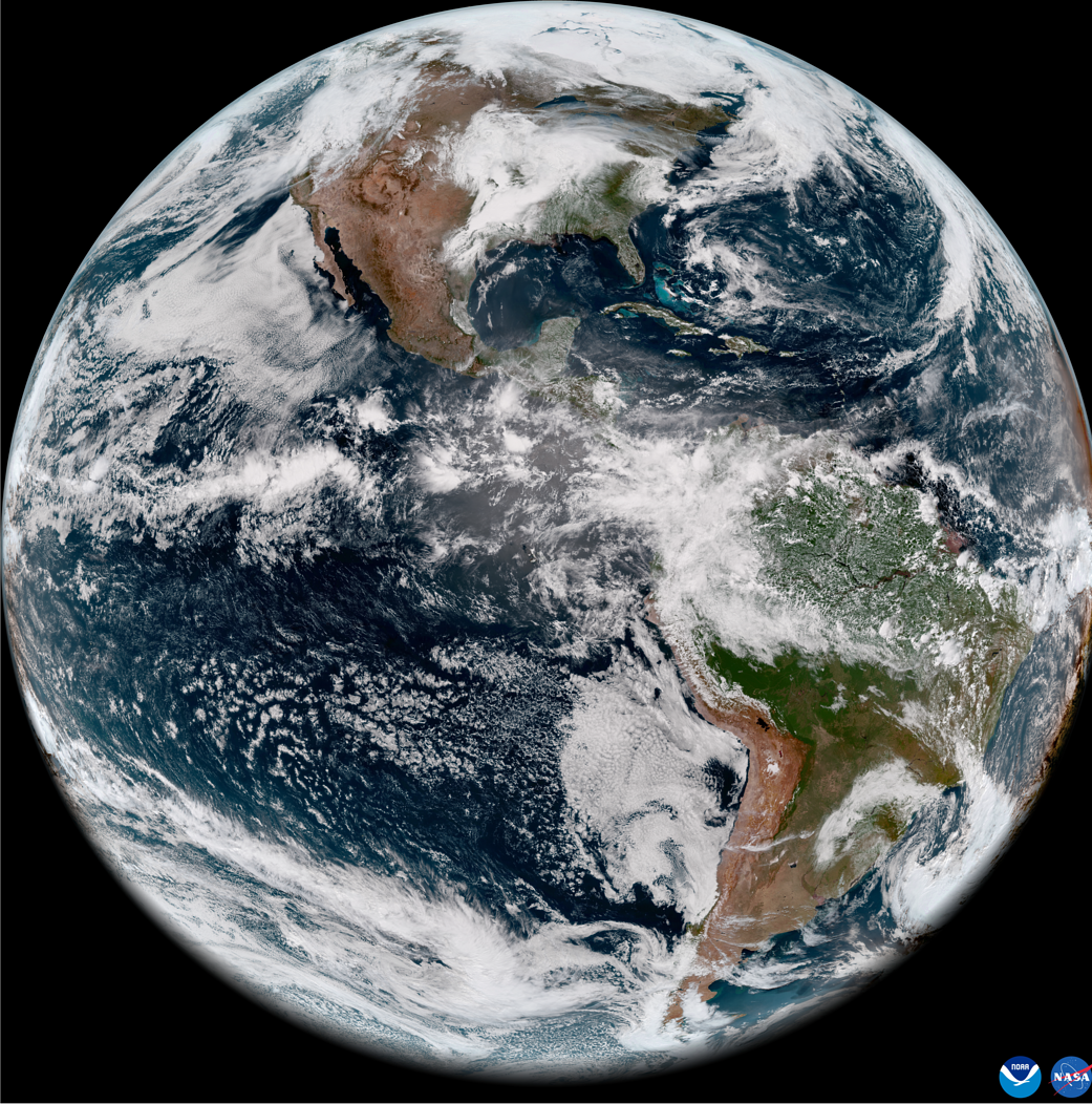
On May 11, 2022, the National Oceanic and Atmospheric Administration, or NOAA, shared the first images of the Western Hemisphere from its Geostationary Operational Environmental Satellite-T (GOES-T). Later designated GOES-18, the satellite’s Advanced Baseline Imager (ABI) instrument recently captured stunning views of Earth.
Launched by NASA on March 1, GOES-18 lifted off at 4:38 p.m. EST from Cape Canaveral Space Force Station’s Space Launch Complex 41 in Florida. The ABI views Earth with 16 different channels, each measuring energy at different wavelengths along the electromagnetic spectrum to obtain information about Earth’s atmosphere, land, and ocean.
Learn more: GOES Overview and History