


News - GLOBE Observer


Trees are land cover
Since 1995, The GLOBE Program has provided Earthlings with the ability to participate in understanding local, regional, and global tree coverage. Trees are an important part of the carbon cycle. With the GLOBE Observer (GO) mobile app there are two ways of tracking the location and number of trees across Earth: GO Land Cover and GO Trees. So what is the difference between these two? What is the benefit of one over the other? Should you make observations of trees using both of the tools?
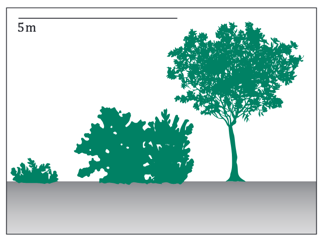
Trees are woody vegetation greater than 5 meters tall.
GO Trees and GO Land Cover
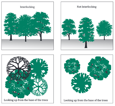
The GO Trees tool focuses on mapping the location and height of individual trees. GO Land Cover focuses on the amount and location of those individual trees. These tools complement each other. In order to use the GO Trees to measure the height, you need to be able to see the top of the tree which is usually only possible when the trees you are observing are loosely spaced (not interlocking tree canopy) or when standing on the edge of a group of closely spaced (interlocking tree canopy) trees.
When observing trees with GO Land Cover you will document where the trees are located (closely or loosely spaced), when they lose their leaves (leaf longevity), leaf type, and how the trees change over time.
The six directional photos taken with the GO Land Cover tool provide a way to record forest cover, whether closely or loosely spaced, needle-leafed or broadleafed.
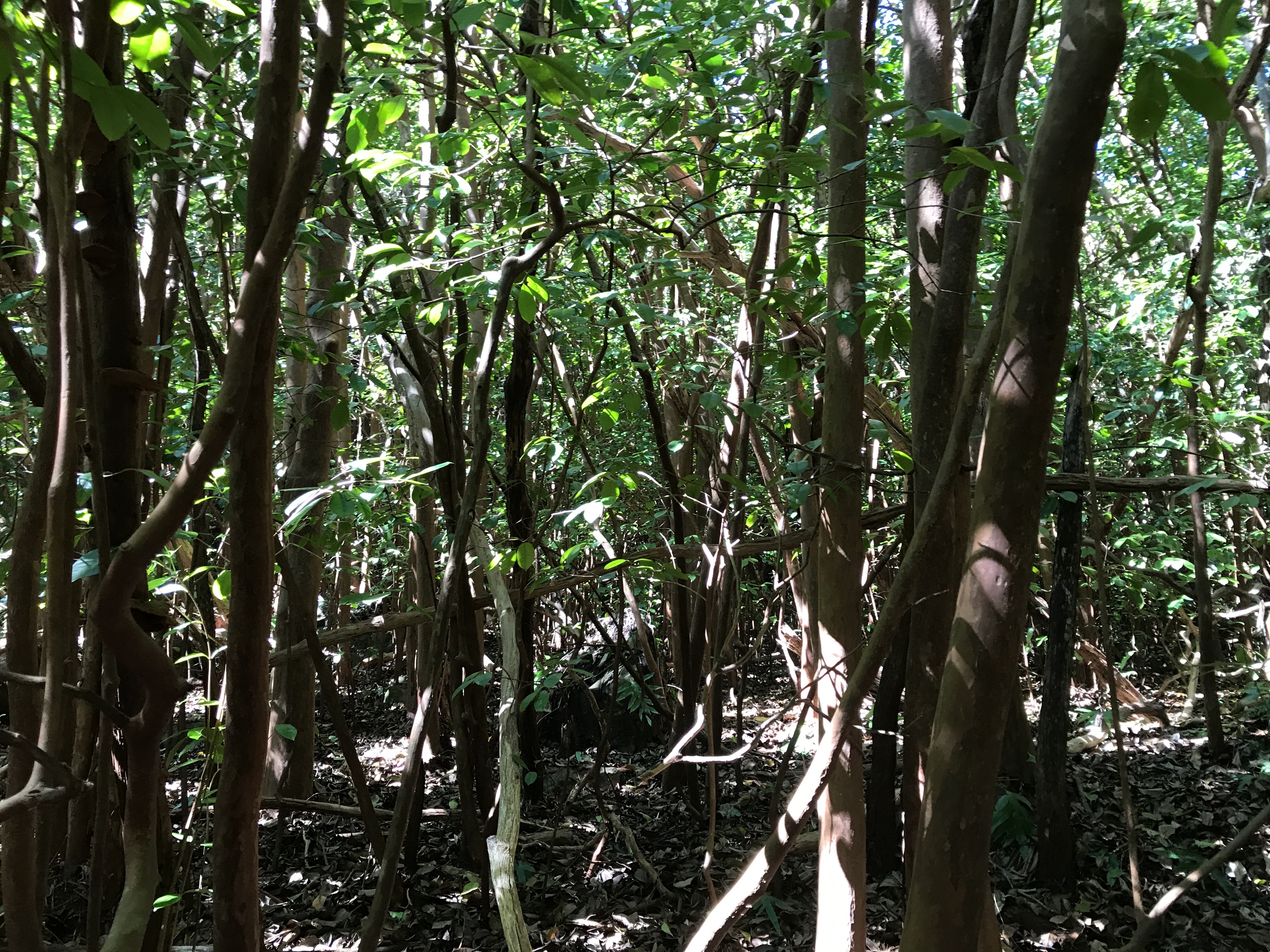
1. Closely-spaced versus loosely-spaced
Identified by the spacing of the tree branches and whether they are interlocking or not interlocking above 5 meters from the ground.
Source: MUC Guide
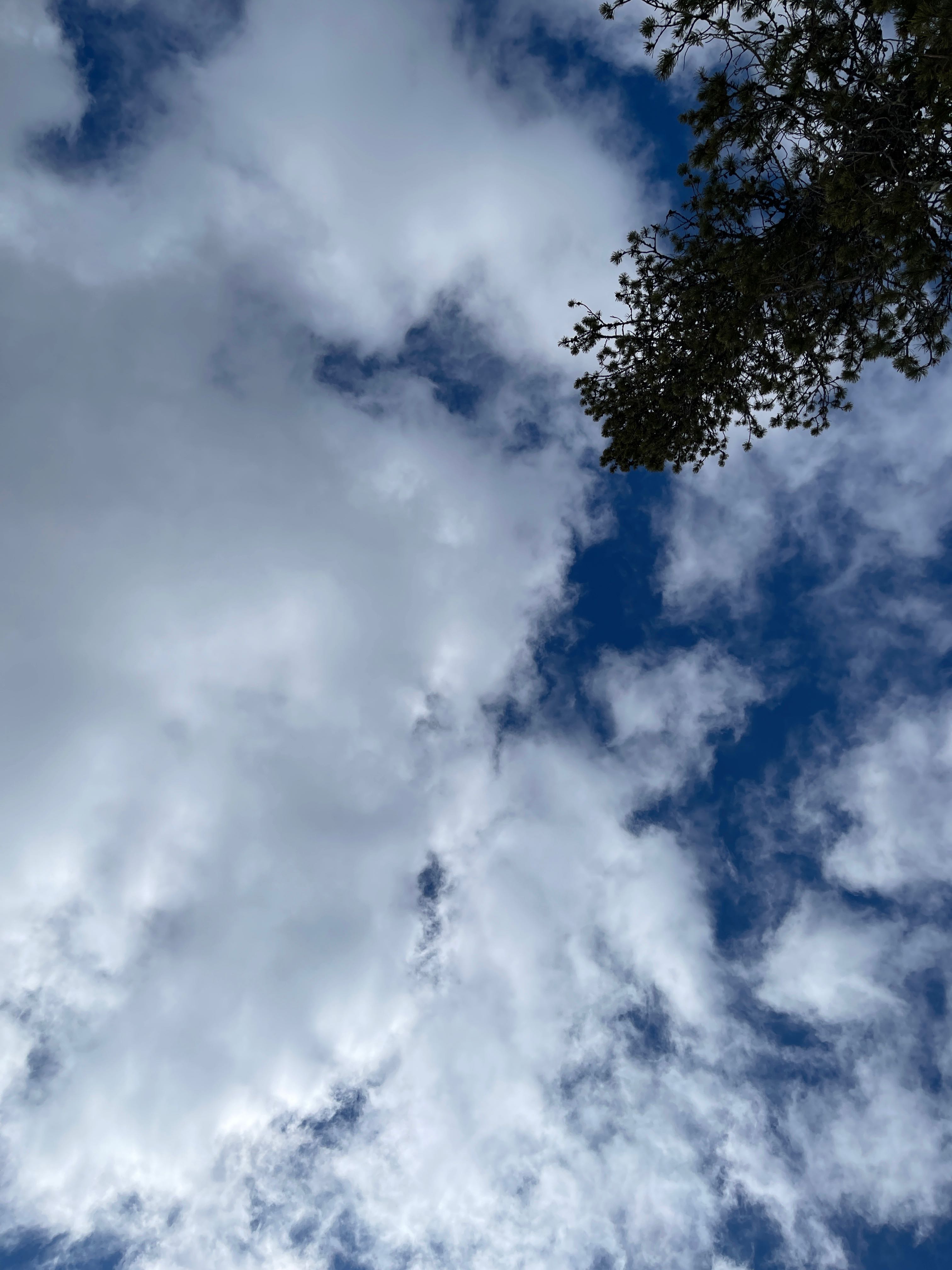
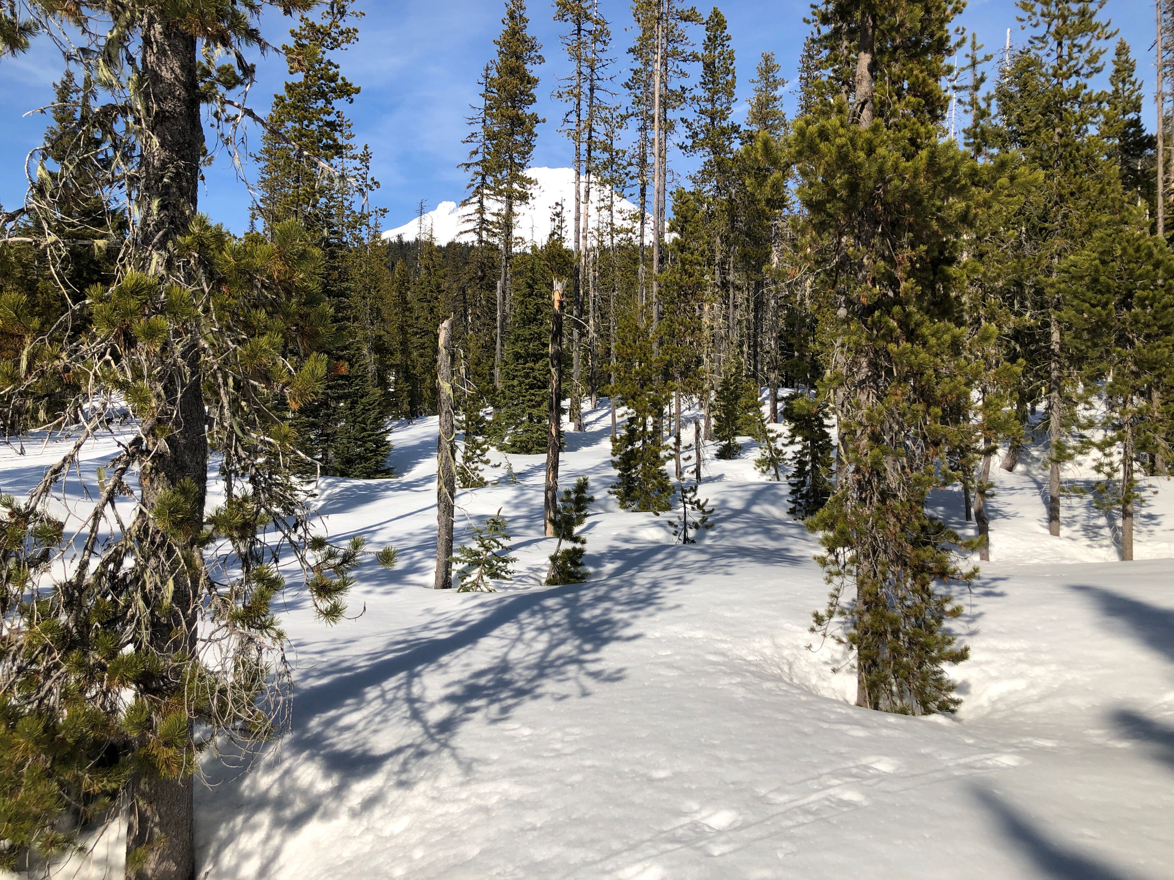
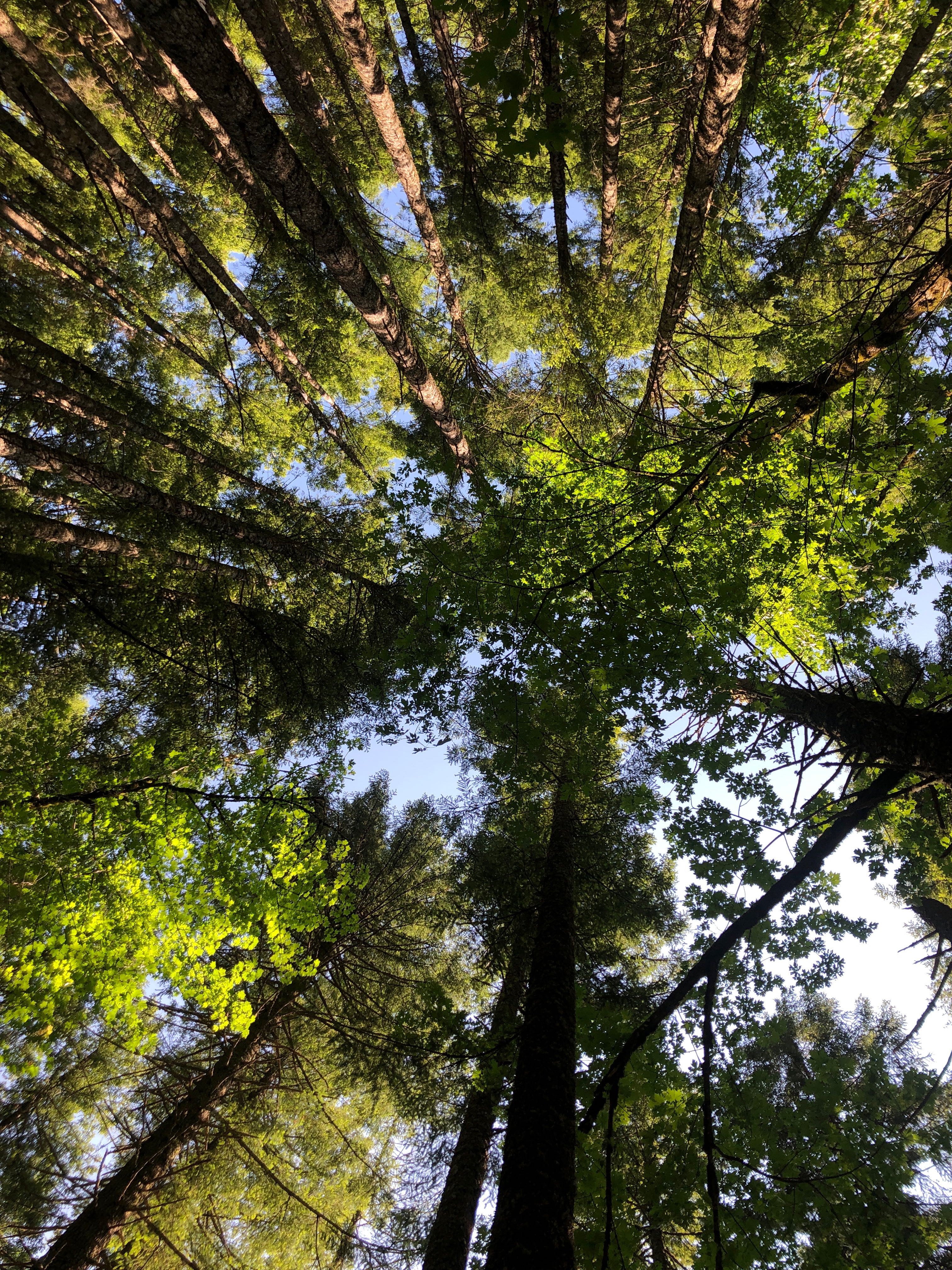
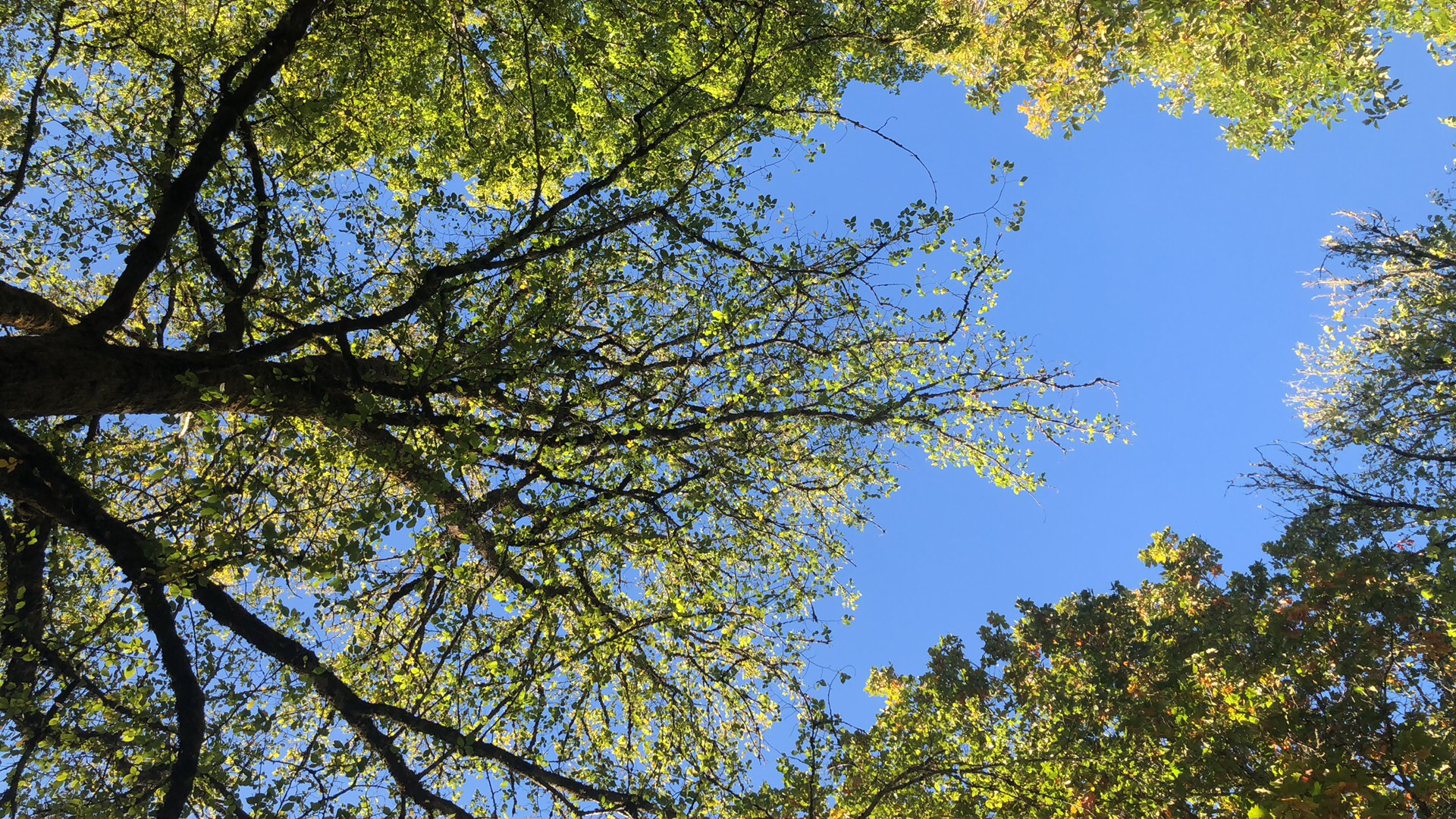
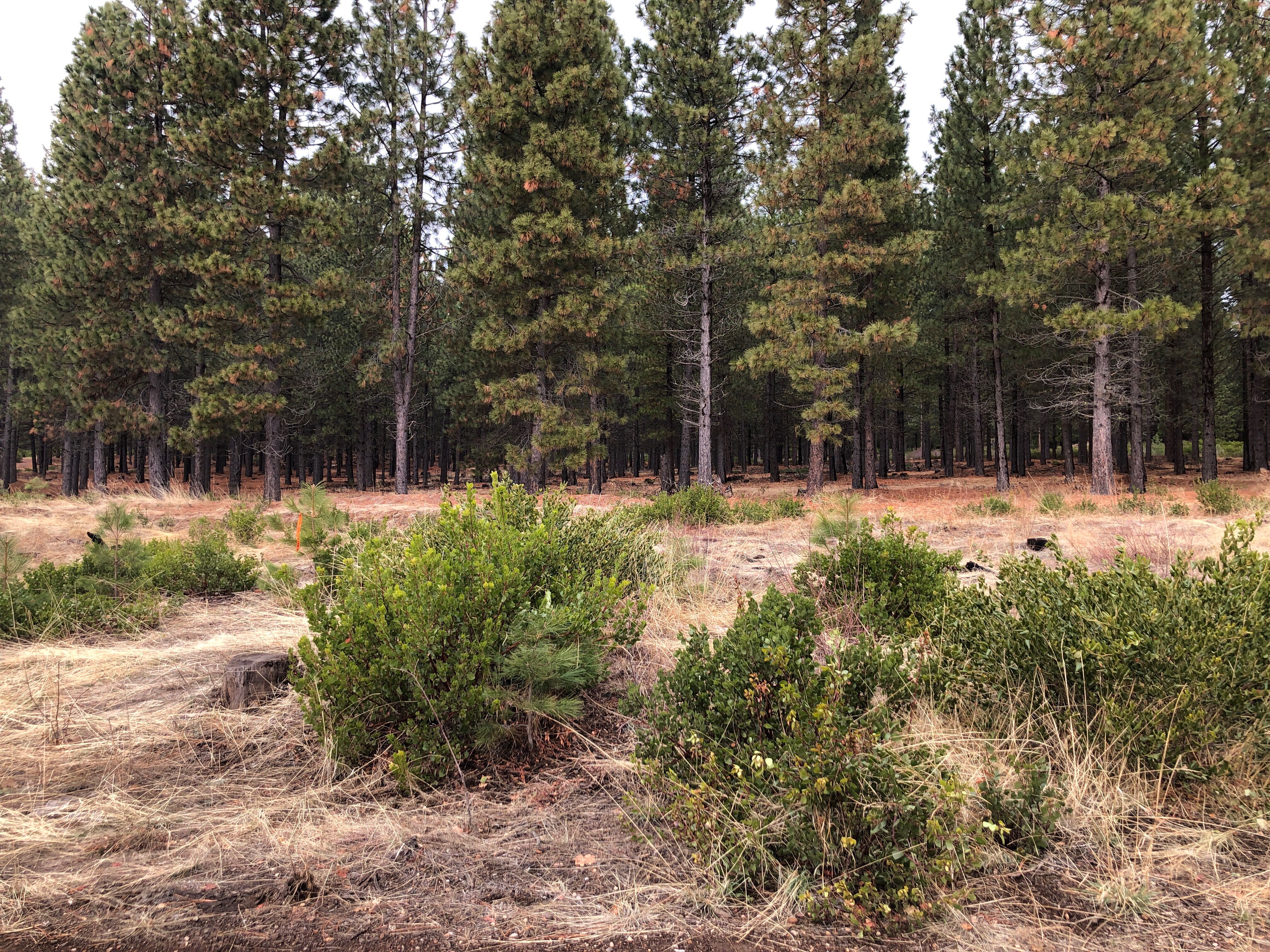
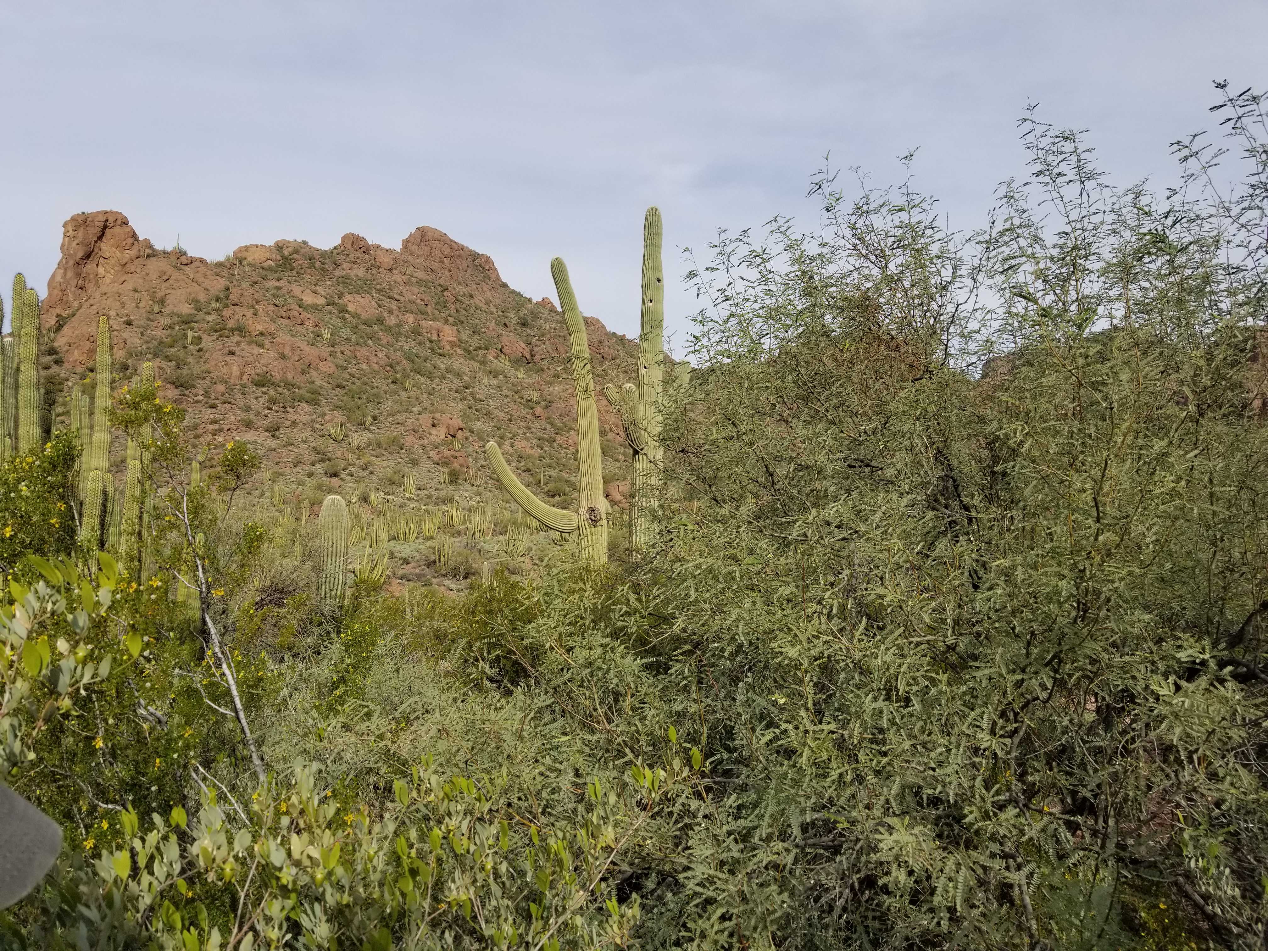
Loosely spaced trees allow you to see far off features like mountain peaks and provide you with lots of sky view.
Another example image of loosely spaced trees
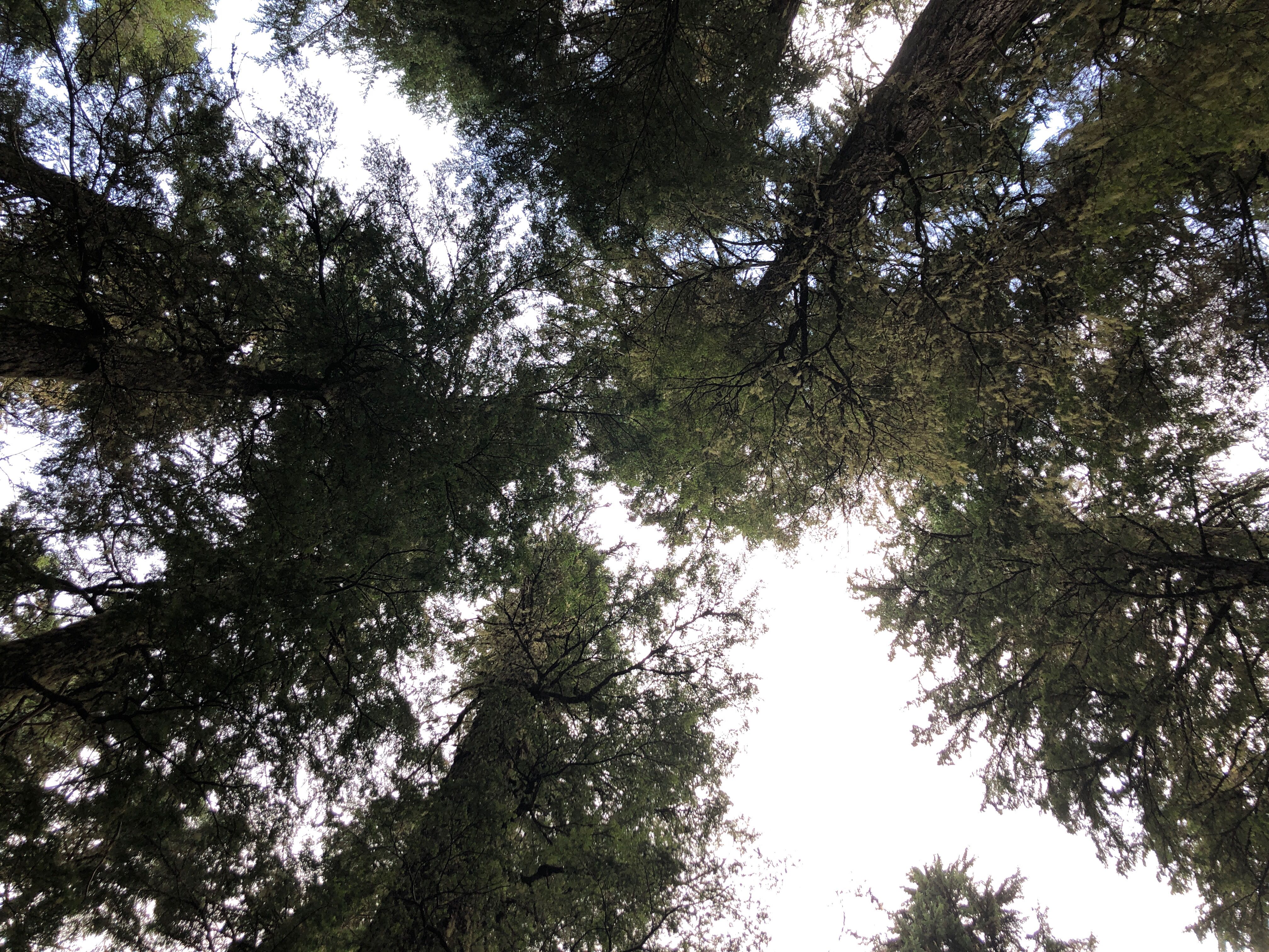
Closely spaced trees block your view in many directions and may block your view of the sky.
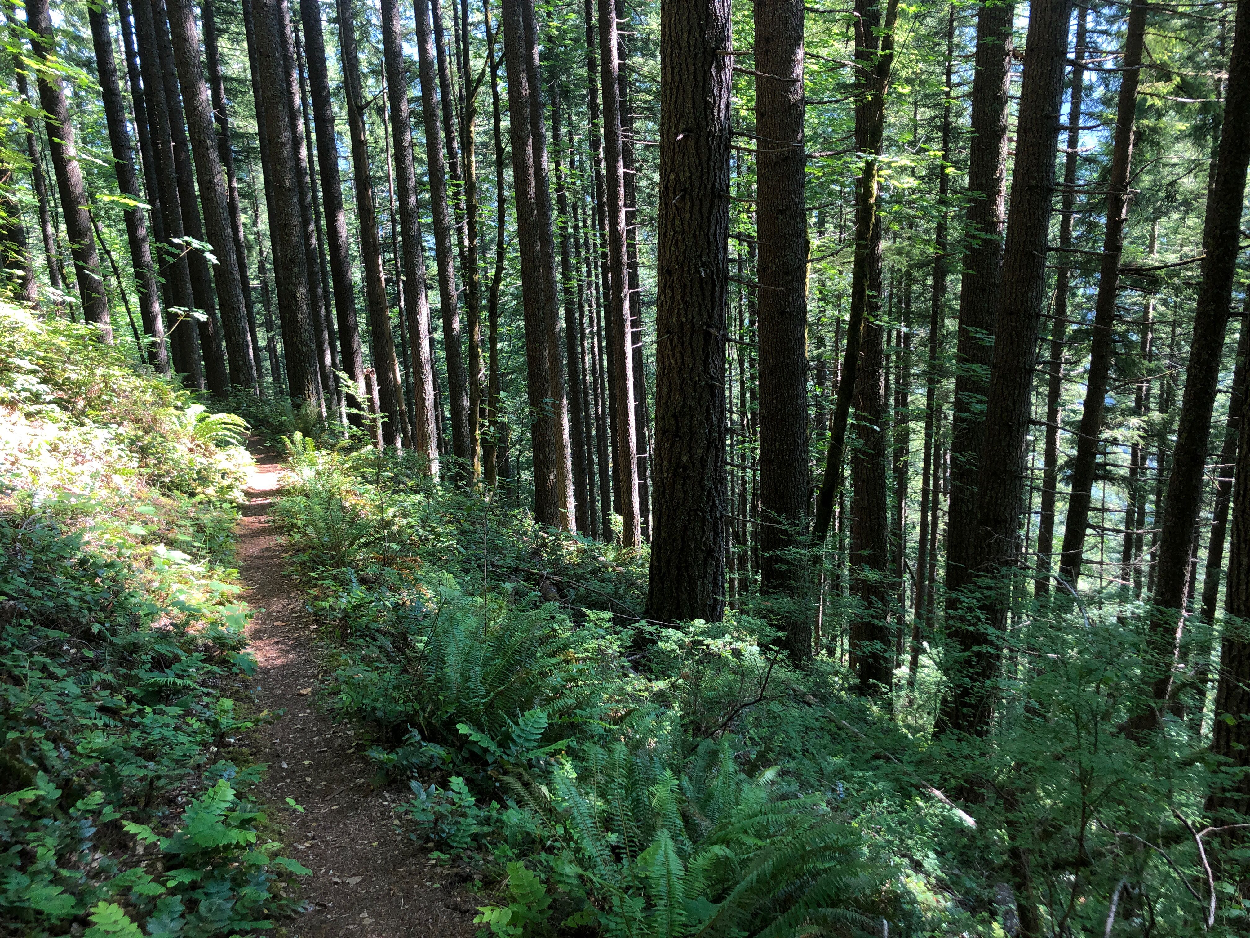
Another example image of closely spaced trees
2. Leaf Longevity
Deciduous trees lose their leaves seasonally and evergreens do not. So next, with GO Land Cover you can identify the types of trees you are observing as land cover by taking a look at how long the leaves are on the trees and whether they are evergreen or deciduous. You can sometimes identify these at a single observation in time or alternatively through repeat observations of the same location. The majority of trees (more than 50% of the canopy) shed their foliage simultaneously in connection with the unfavorable, drought or cold, season.
3. Leaf type
Tree leaves are grouped into categories of needleleaved, broadleaved, or succulent/palms. Pictures obtained through the GLOBE Observer app can help other researchers identify types of leaves on trees within observations.
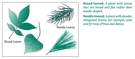
Deciduous (needleleaved)
Deciduous (broadleaved)
Another example observation of deciduous (broadleaved) trees
Evergreen (needleleaved)
Another example observation of evergreen (needleleaved) trees
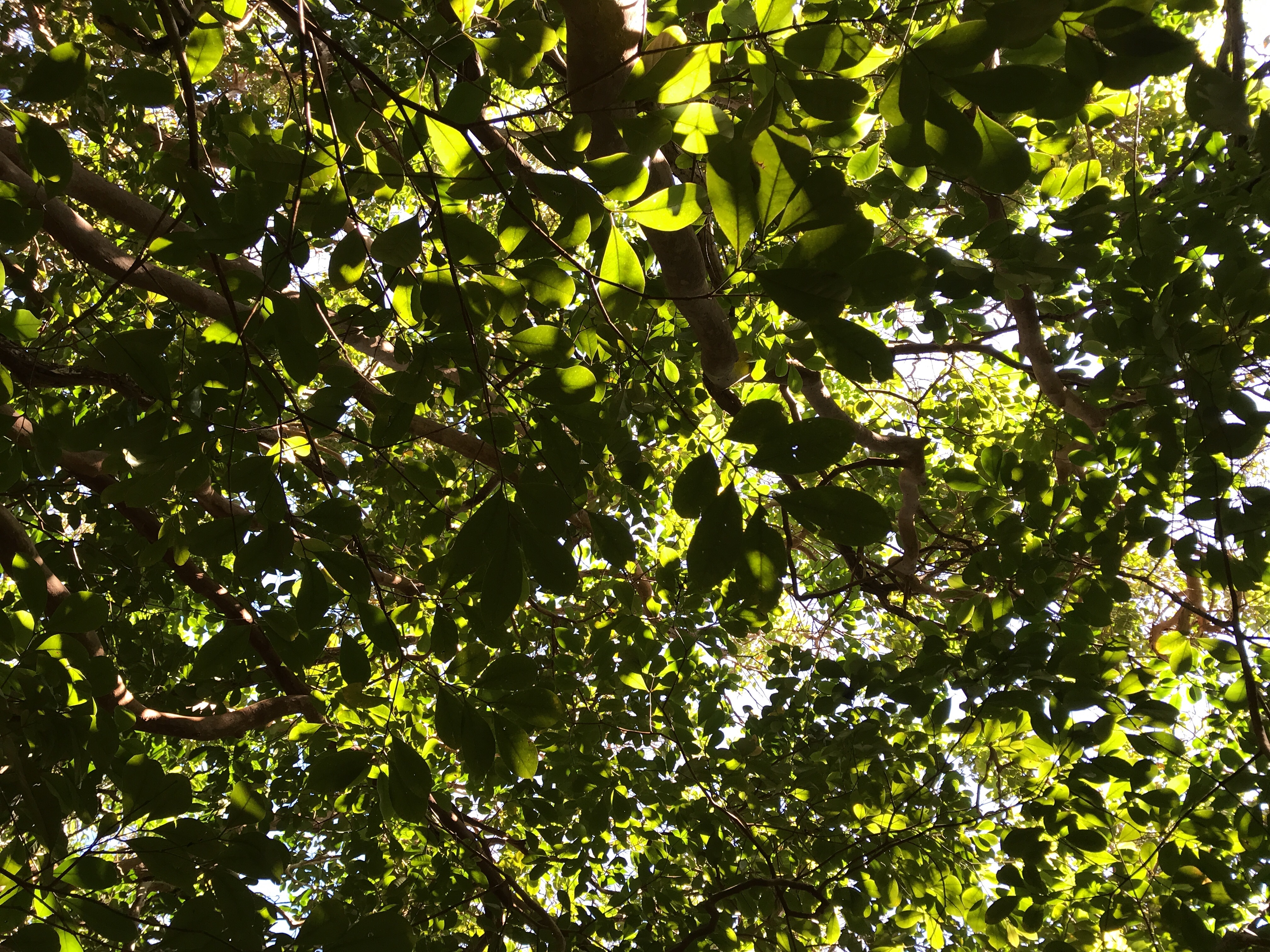
Evergreen (broadleaved)
Another example observation of evergreen (broadleaved) trees
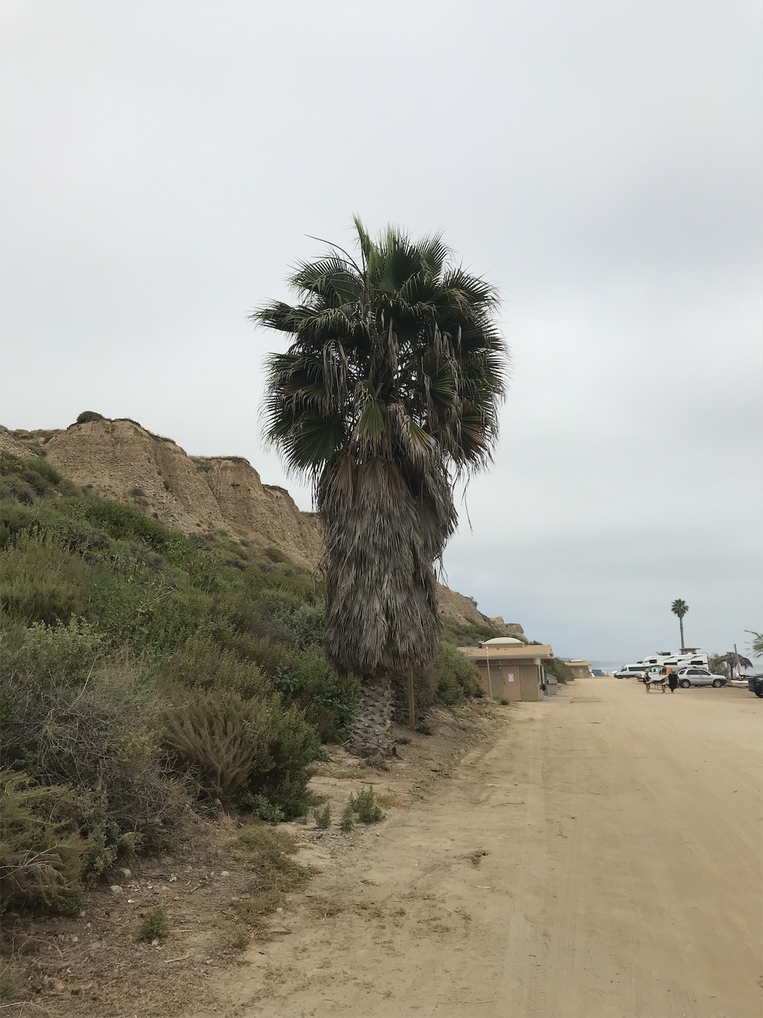
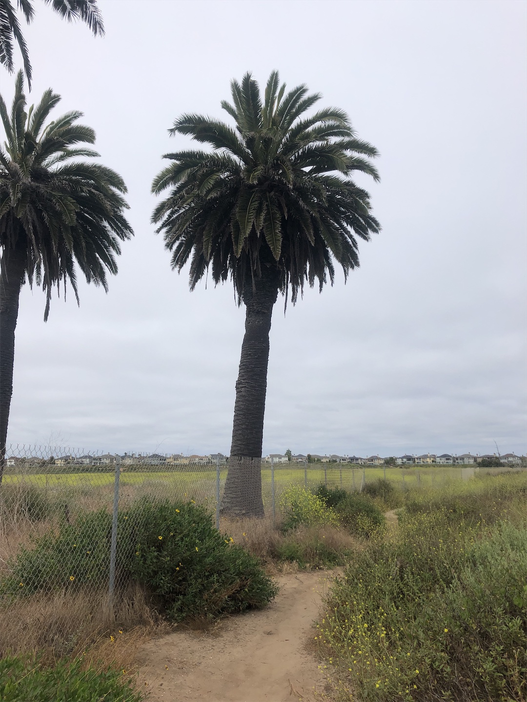
Succulent/Palms
Another example observation of Succulent/Palms
Another example observation of Succulent/Palms
4. Trees change over time
Whether seasonally or because of fire, deforestation, construction, weather events, planting, or growth. GLOBE Observer land cover observations show these changes.
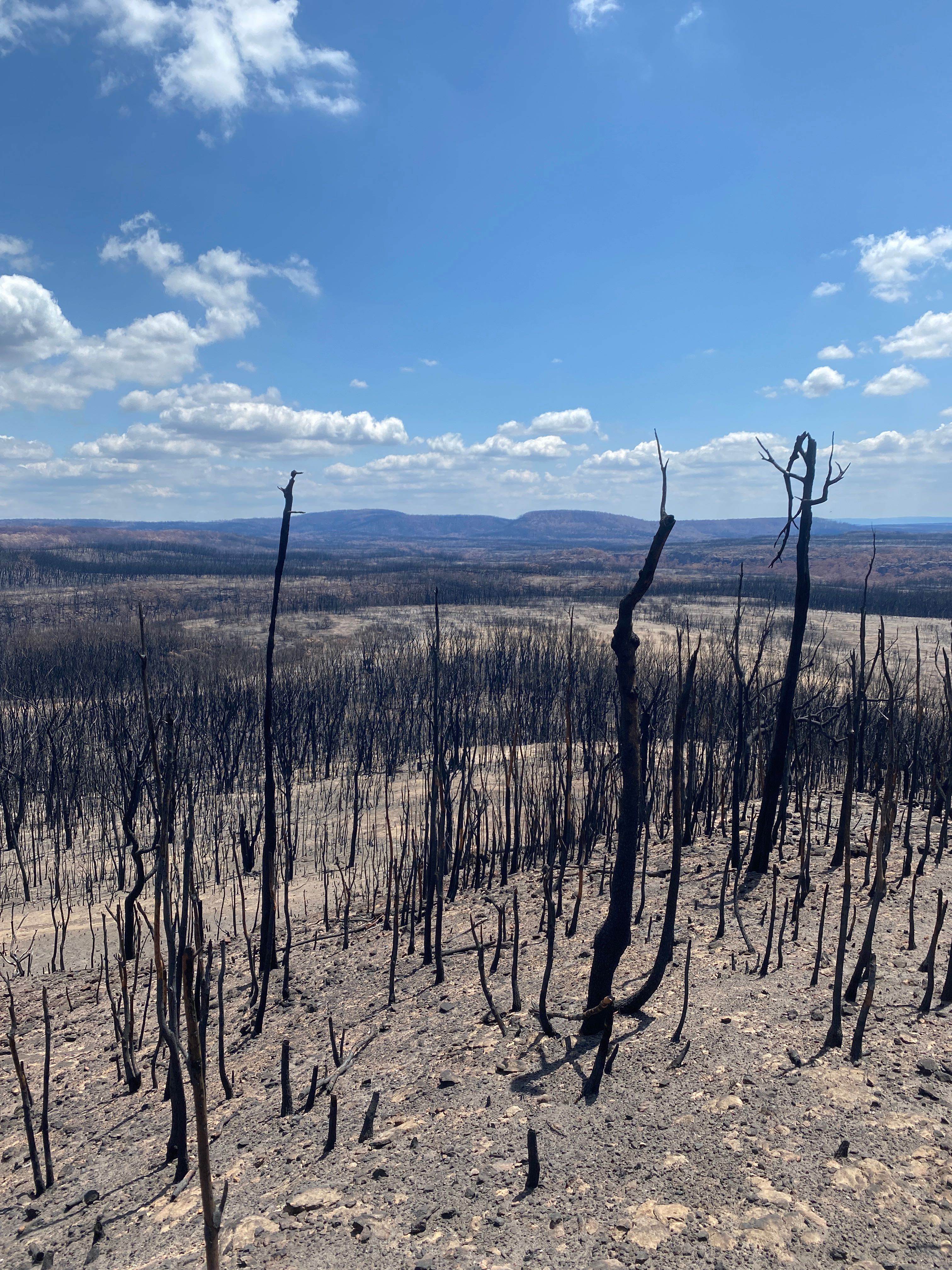
The aftermath of a fire is clearly seen in this image sent in by an observer in Coolumburra, Australia, taken 21 Jan 2020.
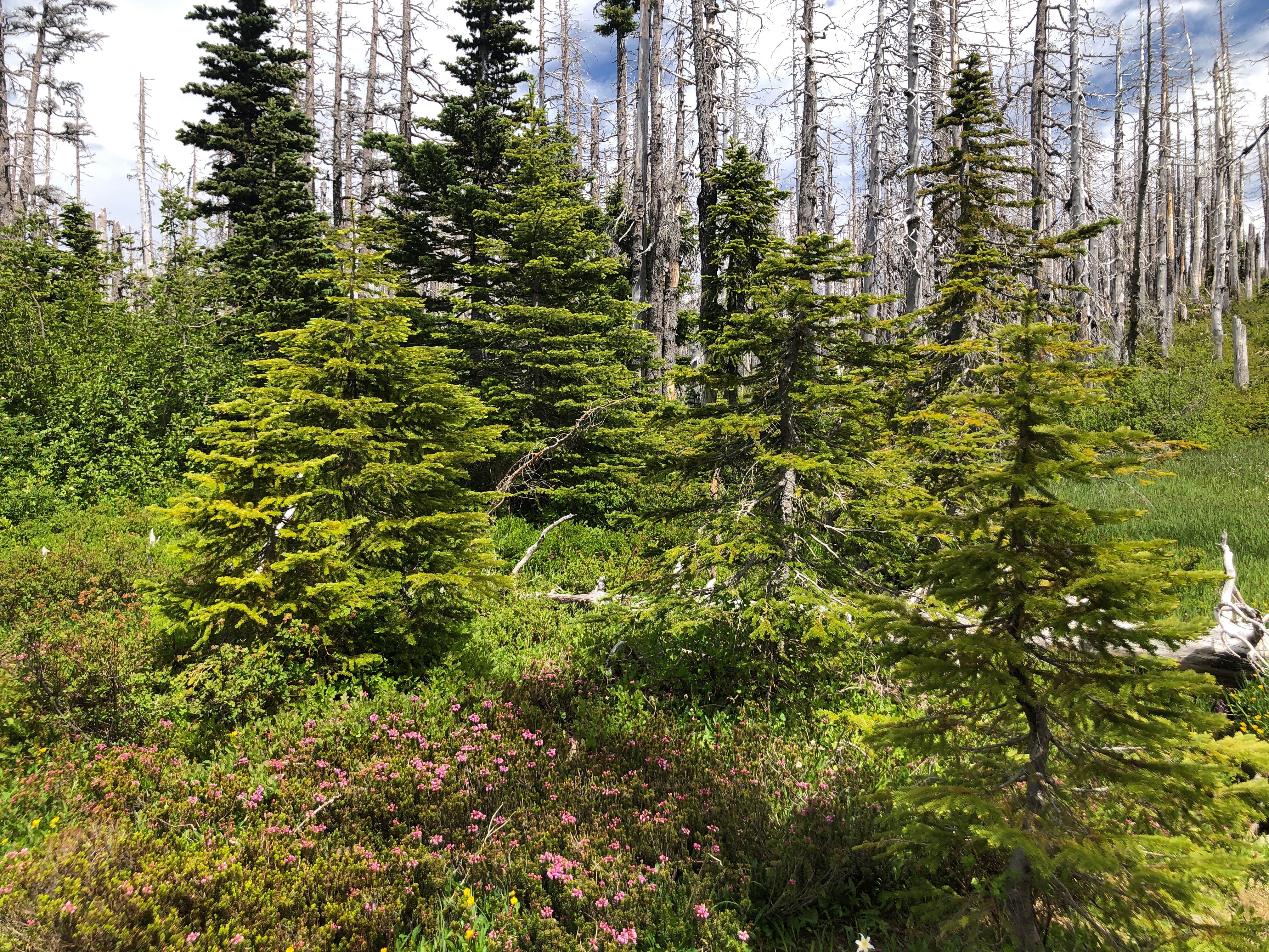
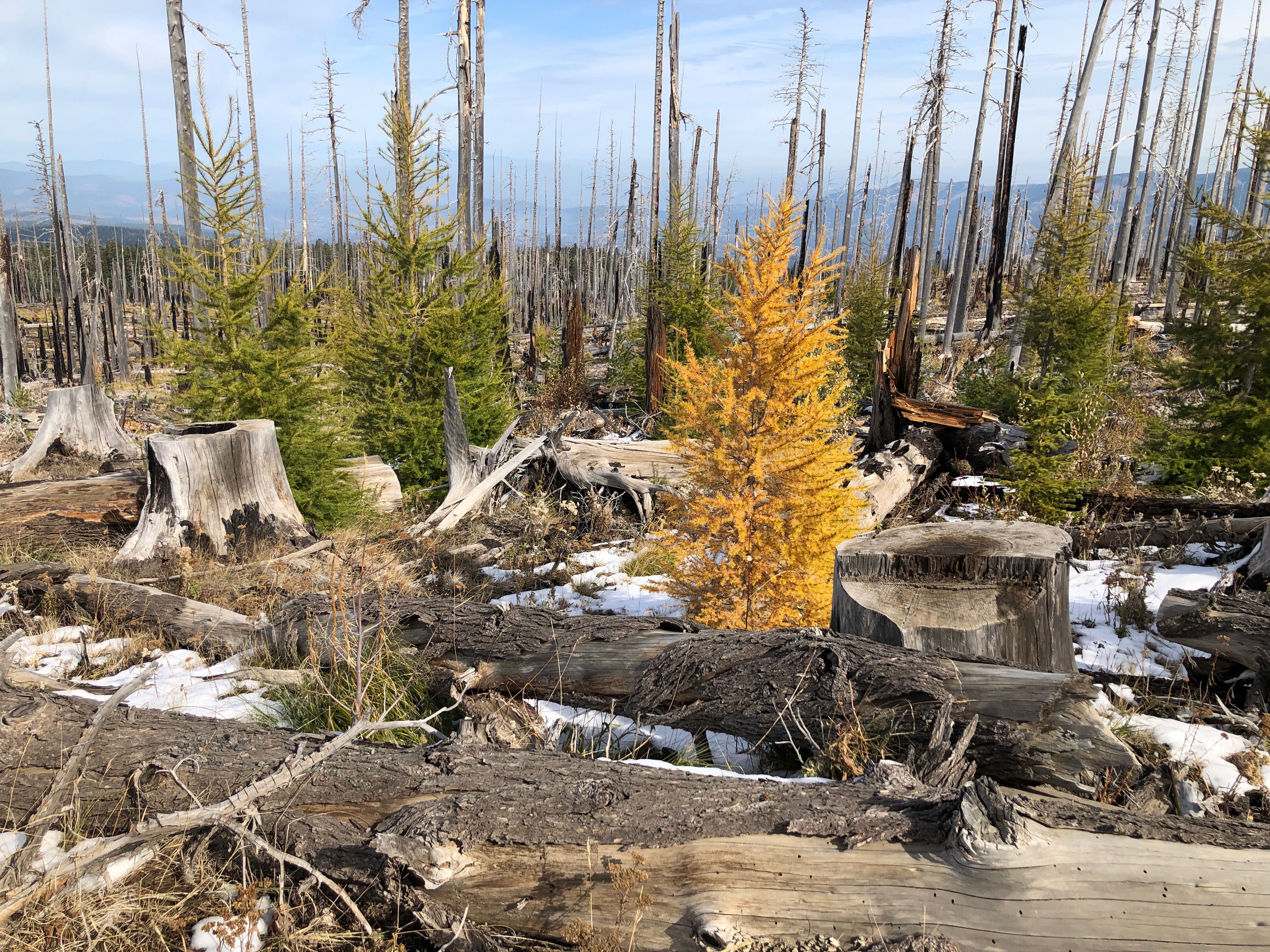
Tree growth after a fire where the older tree trunks that burned are still standing. Oregon, United States taken on 11 July 2020.
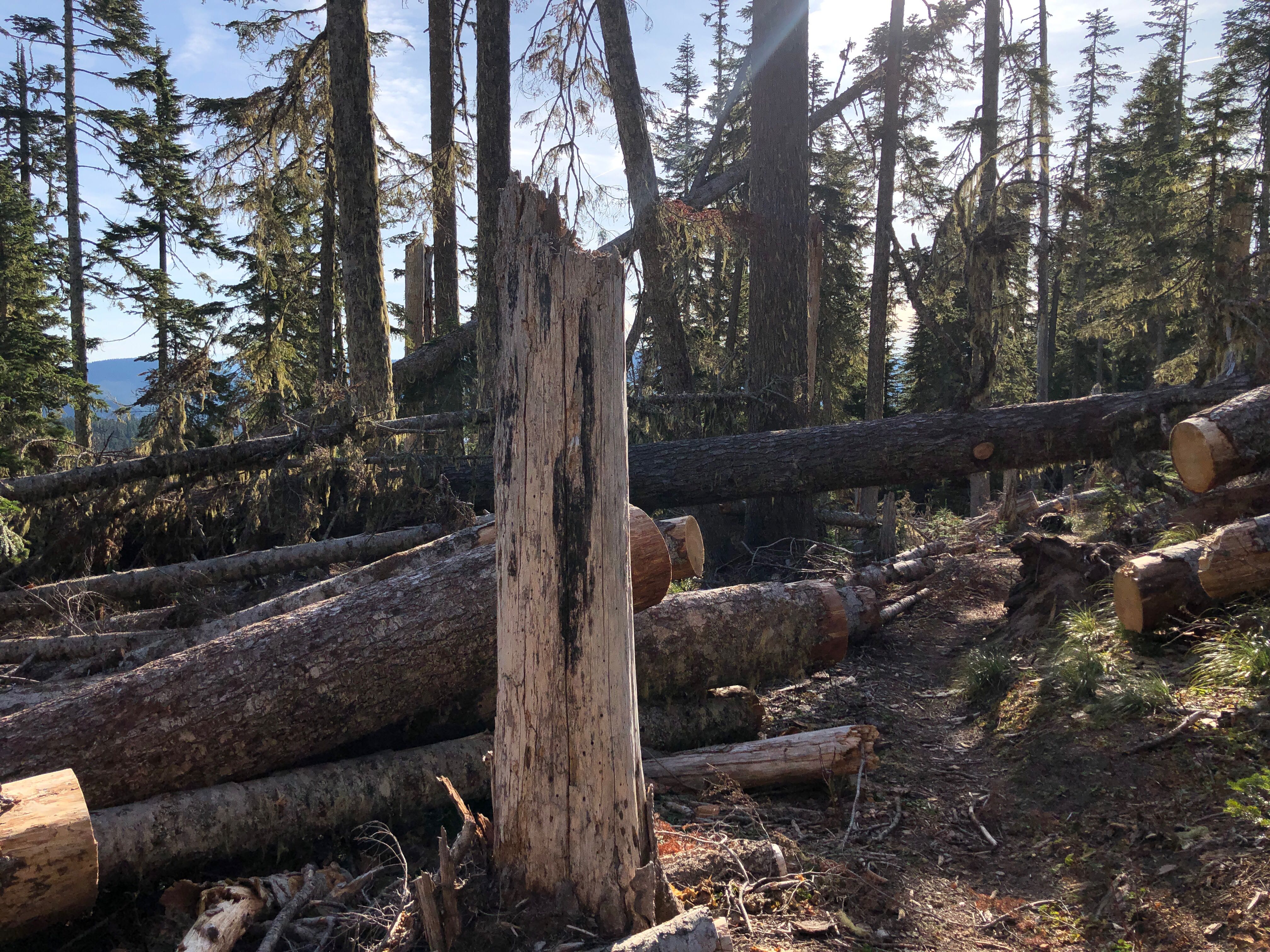
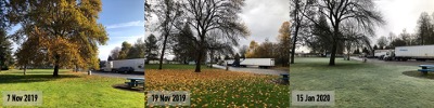
Trees blown over by wind blocked this hiking trail while others leaned up against other standing trees creating a new gap in the tree canopy. Oregon, United States taken on 3 Nov 2019
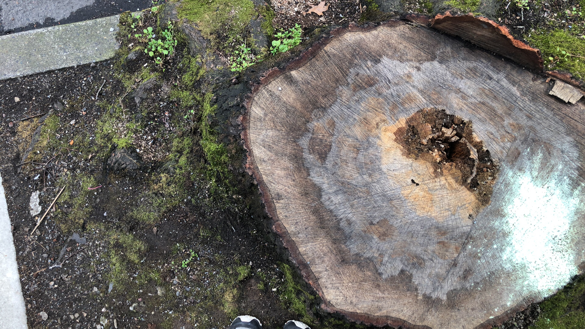
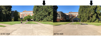
Tree stumps are reminders of what was there before this observation. This image reveals the location of a former street tree and the effects of urbanization. Oregon, United States taken on 26 March 2019.
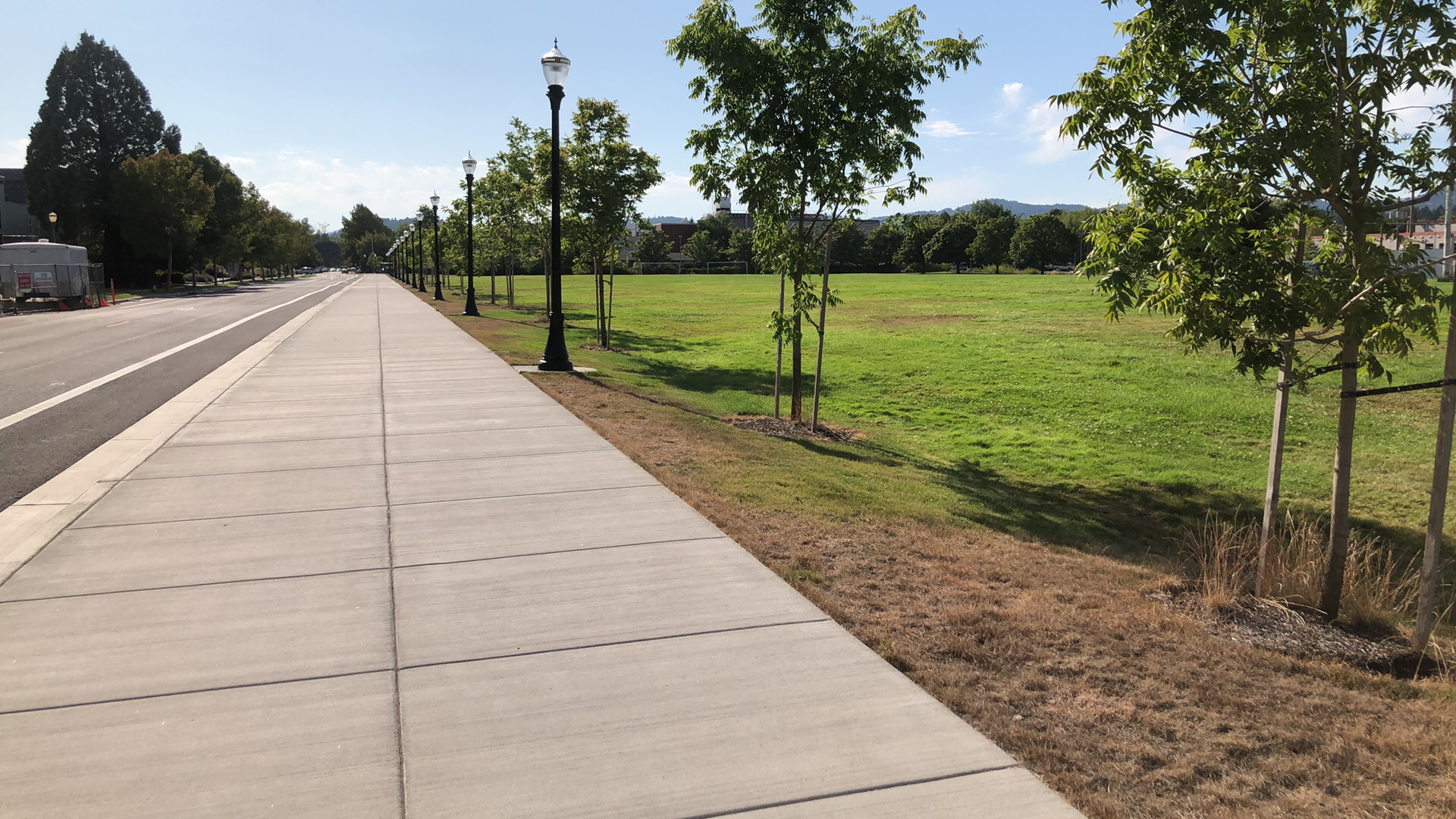
Newly planted trees are visible along this street. Note these trees are currently loosely spaced and supported with stakes and are adjacent to urban and herbaceous land cover. Oregon, United States taken on 13 Aug 2019.
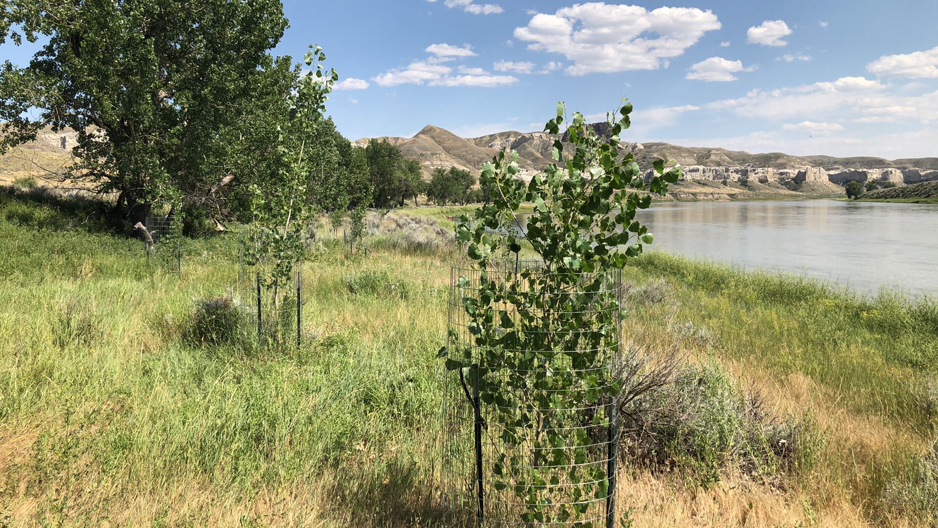
Newly planted trees are visible along this river. These new trees are not tall enough to be measured with GO Trees (yet) but are captured with GO Land Cover to document that they exist and are growing successfully. Montana, United States taken on 27 July 2019.
If you estimate the height of a tree using the GO Trees tool, why not add a GO Land Cover observation so those individual trees are put into their neighborhood context. Or if you are taking a land cover observation, try using the Trees tool to take a tree height observation and see the forest for the trees.
While taking land cover observations or tree observations, you can join the 2021 Community Trees Challenge, going on now. As part of the challenge’s activity tracker participants are encouraged to observe both trees and land cover.
By completing the activities, you will improve your science observation skills, enrich your understanding of trees as part of our landscape, learn why NASA studies trees, be a part of a NASA-sponsored citizen science project, as well as join a citizen science community. Your observations of tree height contribute to a global database that is free and open so that anyone - scientists, students, communities, and citizen scientists - can conduct research.
Sources:
The GLOBE Program MUC Field Guide, A key to land cover classification.
Peder Nelson M.S., is the Land Cover science lead for GLOBE Observer. In addition, he is an Instructor of Geography and Geospatial Science and researcher in the Environmental Monitoring, Analysis, and Process Recognition (eMapR) Lab in the College of Earth, Ocean, Atmospheric Sciences at Oregon State University. With a background in environmental education, biological sciences, and land management, he uses remote sensing and geographic information systems to create maps and data that show people what is happening on planet Earth, particularly changes that can be seen from space. Twitter: @pedervnelson and http://emapr.ceoas.oregonstate.edu/
Comments
View more GLOBE Observer news here.