


Dr. Valerie L. Thomas was an integral part of the early Landsat digital image processing team. In Landsat’s long history many talented people were brought together to make the vision of Earth observation from space a reality and Thomas was one of those people.
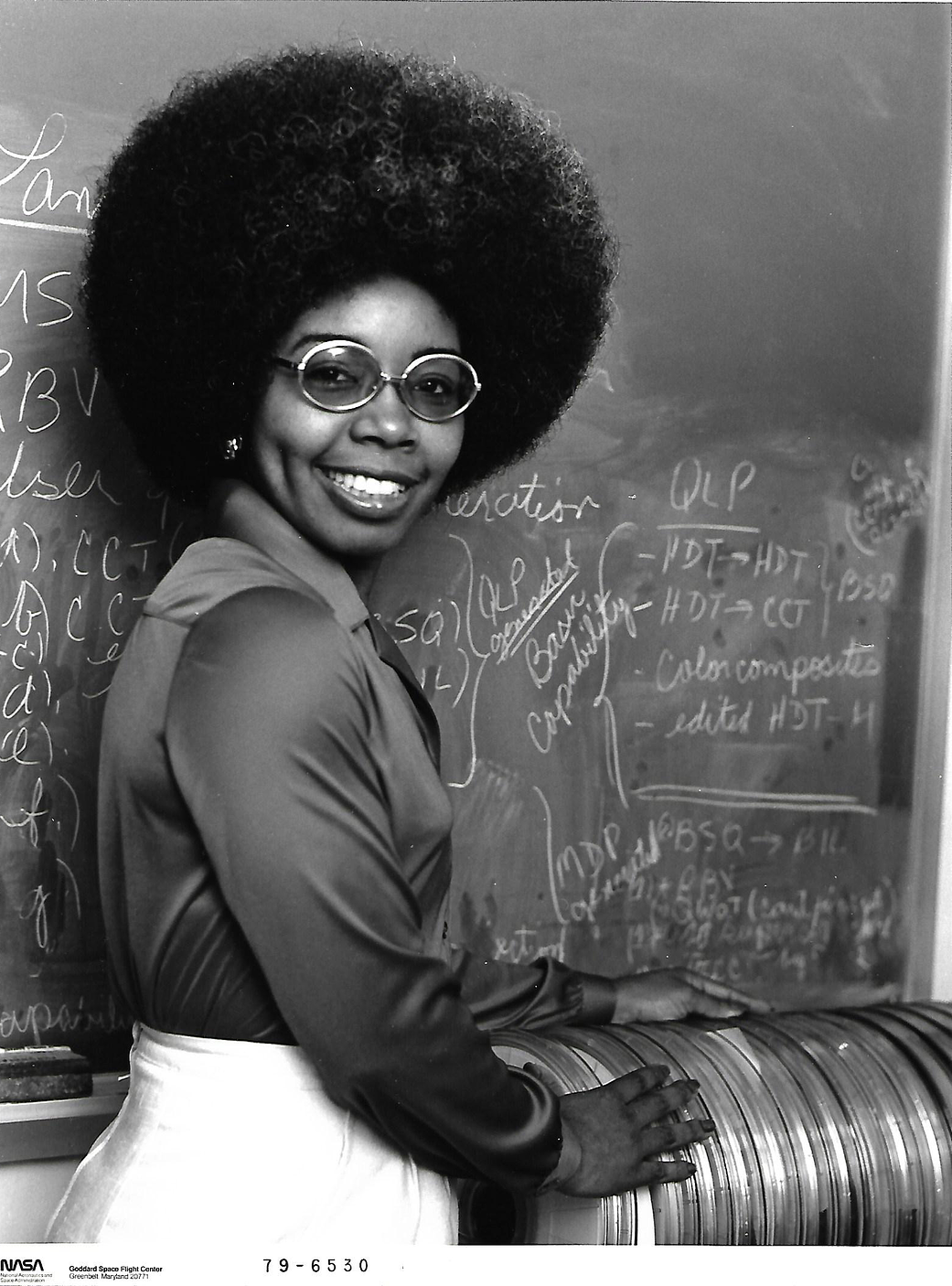
Working at NASA’s Goddard Space Flight Center, she managed the development of early Landsat image processing software systems and became the resident expert on the Computer Compatible Tapes, or CCTs, that were used to store early Landsat imagery.
She was one of the image processing specialists who facilitated the ambitious Large Area Crop Inventory Experiment, known as LACIE—a project that showed for the first time that global crop monitoring could be done with Landsat satellite imagery.
In this image from 1979, Thomas is shown standing with a stack of early Landsat Computer Compatible Tapes.
Image Credit: NASA