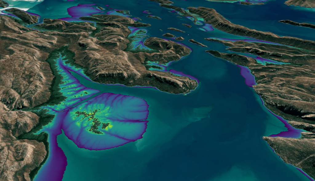
Over the past few years, machine learning techniques have been increasingly used to analyze the vast amount of data collected by the Landsat mission, which has been circling the globe for over 50 years. The data has been used to classify different types of land cover, detect changes to landscapes over time, and map the impact of human activity on the environment.
With the field constantly evolving, researchers are developing new deep learning models to improve the accuracy and efficiency of the analysis and extract even more information from the data. Here are just a few examples of how the combination of Landsat data and machine learning is providing a better understanding of our planet’s past, present, and future.
Meat of the Matter: Colorado River Over-Consumed
More water is taken from the Colorado River than it has to give. Better water use accounting made possible by Landsat provides needed guidance for difficult water use decisions.