By Kathryn Cawdrey, Science writer for NASA’s Earth Science News Team //OVER THE ATLANTIC OCEAN NEAR CABO VERDE//

When the dust that wafts off the Sahel and Sahara regions of Africa mixes with tropical clouds, it creates what’s known as a rainy “disturbance” in the eastern Atlantic. These disturbances are hurricanes in their youngest form, and as they travel across the ocean, they can either dissipate or grow into powerful storms.
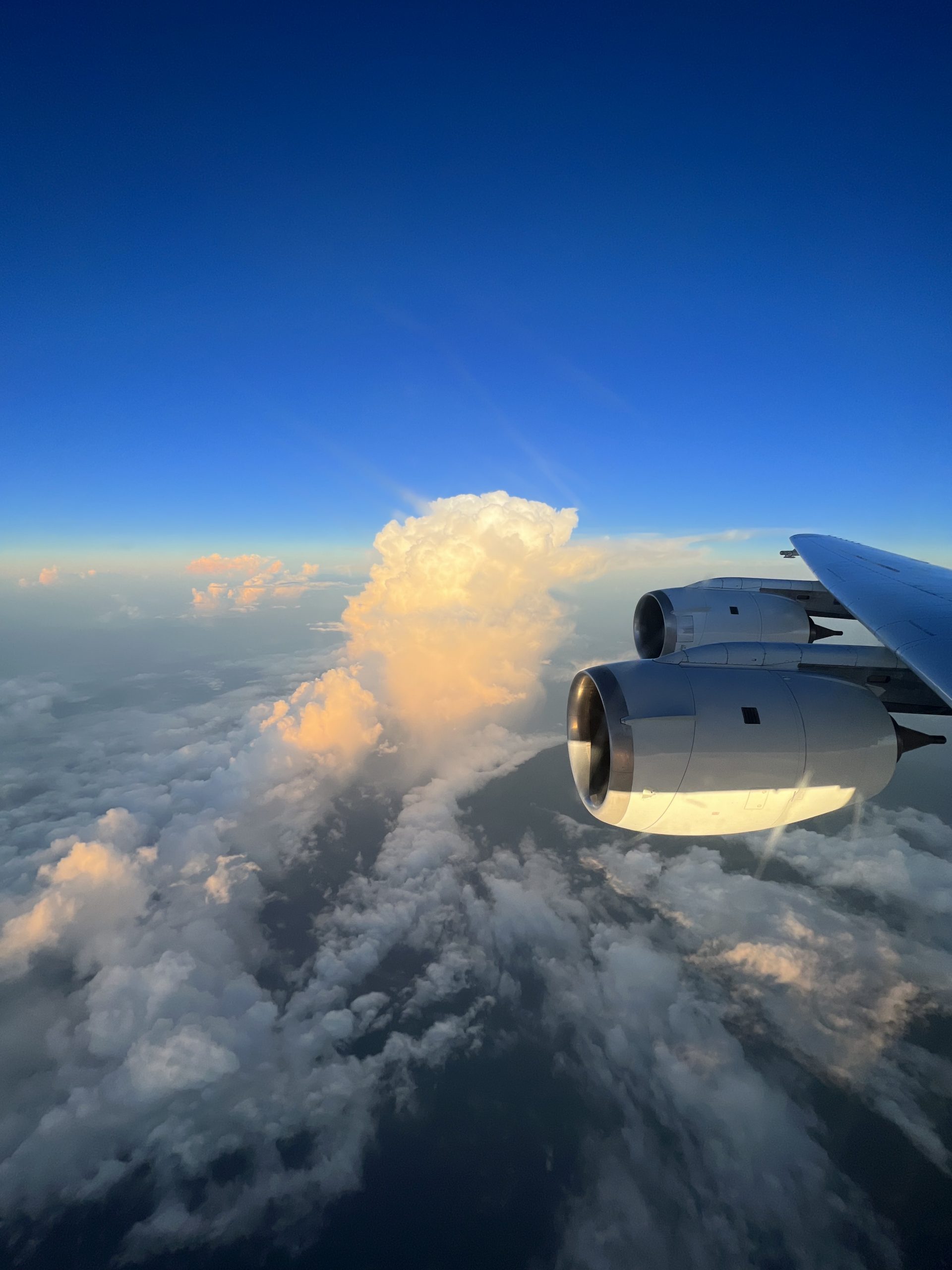
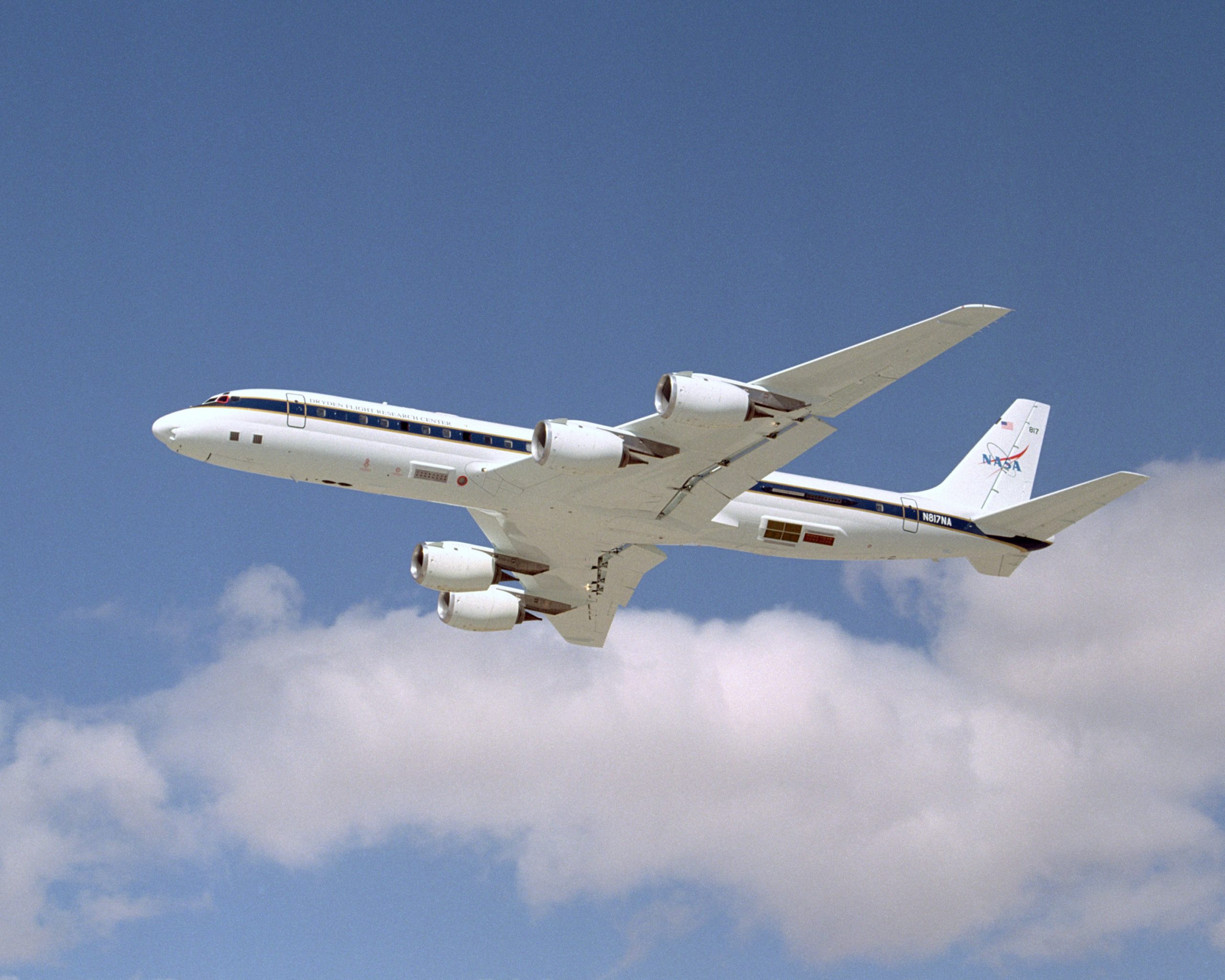
To study these infant storms, a group of NASA scientists in September 2022 spent a month flying off the northwestern coast of Africa aboard NASA’s DC-8 research plane. Each day, the team took off from Cabo Verde, an island nation off the west coast of Africa, logging roughly 100 hours altogether. The mission, known as the Convective Processes Experiment – Cabo Verde (CPEX-CV) released its data publicly on April 1.
The CPEX-CV team operated from September 1-30, 2022. Using state-of-the-art remote-sensing lidars, radars, radiometers, and dropsondes—11-inch, lightweight tubes equipped with a parachute that is dropped from the plane to measure wind, temperature, and humidity—scientists captured and logged data for each flight. This month, the instrument teams have submitted data to their respective NASA data archive centers, the NASA Atmospheric Science Data Center and the Global Hydrometeorology Resource Center.

“Combined with the global picture that satellites provide, this data offers finer details that only an airplane outfitted with instrumentation can measure,” said Will McCarty, CPEX program scientist based at NASA Headquarters in Washington, DC.
These observations provide a window into how dust, moisture, clouds, and the ocean interact to either build or prevent intensification of the rainy disturbances that have the potential to become hurricanes. This data, which is open and available to the public, will benefit researchers and weather forecasters, especially those in the atmospheric science community, according to Amin Nehrir, a research scientist based at NASA’s Langley Research Center, in Virginia.
“This can be considered discovery data,” Nehrir said. “It will inevitably help answer questions in years to come that haven’t been asked yet.”
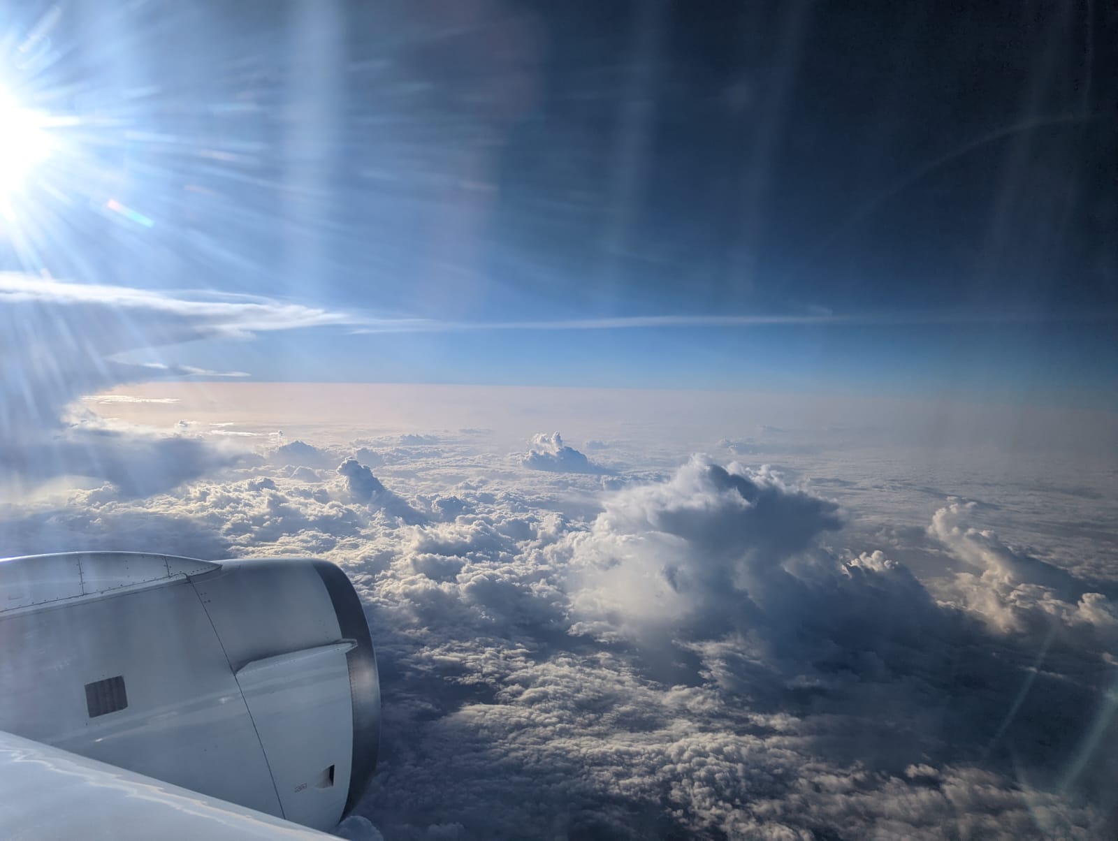
As the plane flew, sensors on the wingtips of the aircraft measured properties of the dust and clouds. Once the plane was above the clouds, onboard remote sensing instruments captured detailed profiles of Saharan dust, wind speed and direction, temperature, moisture, and the structure of convection and rain within clouds. Together these measurements provide an overall, multidimensional view of what’s in the air over the northeast Atlantic, shedding light onto how those variables influence weather systems in their infancy stage.
Multiple times in the campaign the DC-8 soared through the Intertropical Convergence Zone (ITCZ), the region where the northeast and southeast trade winds come together. The ITCZ is known by sailors as “the calms” because of its windless weather. Some of the most remote oceans of the world make up the ITCZ, Nehrir said.
“What was most striking to me was being able to look out the window and see how the clouds changed as far as the eye could see from the faint, puffy clouds to cloud streets to convective systems,” he said. “You get to see the progression of convective systems all in one shot.”
On September 22, 2022, the CPEX campaign encountered and measured one of the largest dust events that NASA has ever sampled.
“We called it the epic dust day,” Nehrir said. “You could see the strength of these atmospheric waves that propagate off the African shore and pick up air and dust.”
These “waves” then interact with clouds and convection to influence the early stages of tropical cyclone genesis, which may or may not turn into a hurricane.
The 2022 CPEX-CV campaign was preceded by CPEX in 2017 and CPEX – Aerosols & Winds in 2021. Data from the previous campaigns is also available to the public.
“Nine science projects and 10 instrument and support teams were funded under this campaign, so those investigators helped plan the mission, and now they will take that data back to their home institutions to learn what they can,” McCarty said. “Now it’s off to the races.”