


Southeast Asia
Leveraging satellite and geospatial data to expand and scale climate actions in Southeast Asia
NASA and USAID launched the SERVIR Mekong hub in 2015 at the Asian Disaster Preparedness Center in Bangkok, Thailand, to serve the countries of the Mekong River Basin: Cambodia, Laos, Myanmar, Thailand, and Vietnam. The partnership chiefly supports climate resilience studies, providing early warning of dramatic changes in regional water, food security, weather and climate, and land cover and land use. In 2023, USAID and NASA launched SERVIR Southeast Asia, an expansion of SERVIR Mekong from the Lower Mekong to the Southeast Asia region.
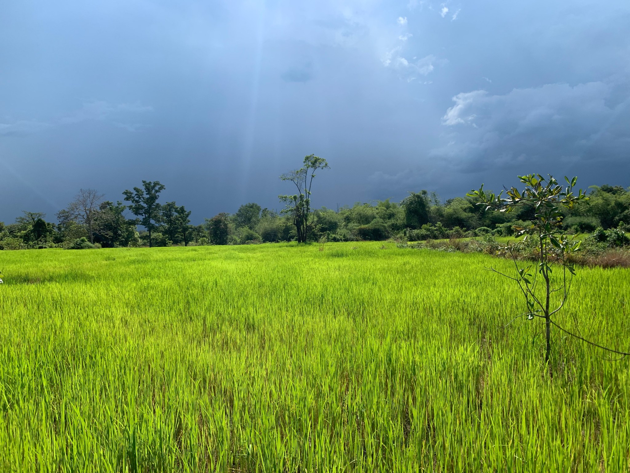
Along the Mekong, the so-called “rice bowl of Asia,” SERVIR focuses on a host of issues vital to the region: disaster risk reduction and response; protection of food and water resources; landscape management to reduce greenhouse gas emissions; and safe, sustainable development of the entire Mekong River Basin.
Established in 1986, the Asian Disaster Preparedness Center (ADPC) has developed strong partnerships with national governments in the region, providing technical services and capabilities to build resilience in one of the most disaster-prone regions of the world. SERVIR Mekong, led by ADPC, was implemented by Deltares headquartered in Delft, The Netherlands; the Stockholm Environment Institute of Stockholm, Sweden; and Spatial Informatics Group of Pleasanton, California.
Together, the hub and its contributors promote the use of satellite imagery and related geospatial decision-support tools to help key stakeholders and decision-makers better predict and manage floods and other environmental shifts and help governments and communities increase resilience to the negative effects of climate change.
Visit ADPC’s SERVIR Southeast Asia website here.


